
Sell Mineral Rights in Algodones, NM
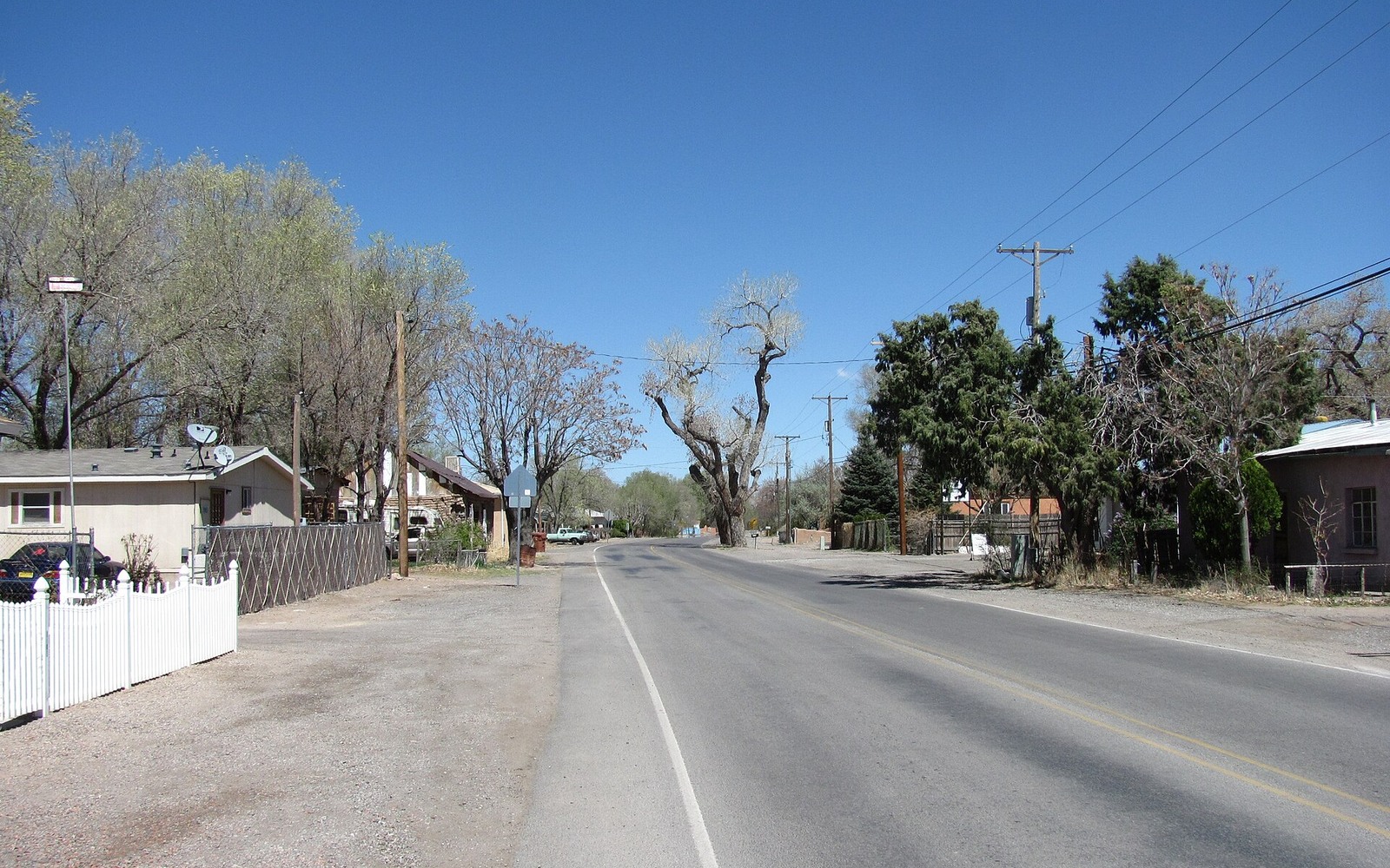
Algodones is a small village along the old Camino Real trade route, near Santa Ana Pueblo, where land title runs through Spanish colonial-era grants as much as through any modern deed.
As in much of the middle Rio Grande valley, mineral interests near Algodones are typically undeveloped and tied to old land grant or homestead patents, with no oil and gas production history to speak of. Title specialists verify ownership carefully through the Sandoval County Clerk's records, especially where land grant partition questions come into play.
Camino Real land-grant history
Algodones' position along the historic trade route means some of its land title traces back further and through more complex partition history than a typical American-era homestead. Title specialists research that history as part of confirming ownership.
Proximity to Pueblo land
Algodones sits near Santa Ana Pueblo land, and while that doesn't affect a clearly fee-owned parcel, title specialists confirm boundary and status carefully so there's no ambiguity about what's actually being conveyed in a sale.
What title specialists need from you
An old deed, a probate document, or simply the legal description — section, township, range — is usually enough for title specialists to locate your Algodones-area parcel in the Sandoval County Clerk's index and confirm current ownership before title specialists discuss a number.
Start the Ownership File With the Recorded Chain
Each tract is reviewed from the earliest available patent, deed, mineral reservation, probate instrument, trust instrument, or corrective conveyance forward to the current record owner. The place name helps orient the search, but the file is controlled by the county, legal description, recording references, and the exact interest shown in each instrument. The abstract separates a family recollection from a recorded right, notes missing links, and identifies the document needed to connect an heir, trustee, entity, or prior owner before acreage or sale value is discussed.
Identify the Mineral Estate Beneath the Tract
New Mexico land in this area can involve private fee minerals, federal minerals, state trust acreage, tribal trust land, allotted interests, railroad-grant history, or more than one estate within the surrounding checkerboard. Those categories do not carry the same ownership record, lease system, or transferable rights. County clerk instruments support private title, while federal, State Land Office, and trust records answer different questions. The review names the applicable estate first and avoids treating nearby public or trust acreage as evidence that a privately conveyable mineral interest exists on the owner’s tract.
Place the legal description inside the active record map
The record review converts the deed description into section, township, range, quarter calls, lots, or other controlling calls, then compares that tract with available spacing, pooling, unitization, communitization, lease, and well records. A nearby rig, permit, or royalty statement is useful only when the legal description connects the owner’s tract to the same participating area. This step also distinguishes a town or mailing address from the mineral tract itself, resolves similarly named communities, and records any county-line, depth, formation, or unit boundary that changes how the interest participates.
Reconcile ownership and the paid decimal
For producing or previously producing interests here, the title file compares the recorded fraction, net mineral acres, tract participation, unit participation, lease royalty, burdens, division order, and recent statements. A mismatch can come from title, a later conveyance, an amended unit, an operator setup issue, or an incorrect assumption about the rights conveyed. Undeveloped interests are documented separately because they do not have a paid decimal or check history to support an income comparison. The resulting worksheet shows which numbers are recorded facts, which require confirmation, and which should not be carried into an offer.
Define the exact interest that could close
A transaction involving this tract should end with a written scope that matches the abstract: owner name, county, legal description, depths, fraction, effective date, included proceeds, excluded rights, title requirements, and any reservation. The proposed deed, assignment, closing exhibit, settlement statement, tax forms, and payment instructions should describe that same verified interest. If probate, heirship, trust authority, a prior conveyance, a lien, or an operator record remains unresolved, the file states the curative item instead of hiding it inside a reduced number. Clear scope lets an owner compare keeping, selling part, or conveying the full verified interest.
Send the county, legal description, owner name, operator or payor, and any patent, deed, lease, division order, royalty statement, probate record, trust record, communitization agreement, or written offer already available.